
Lake County ZIP Codes Across Delivery Areas
Lake County ZIP codes are postal delivery areas, not municipal or county boundaries. The County ZIP boundary service, parcel data, and USPS lookup each answer a different part of the question. The table keeps the county’s documented community evidence beside its caution, so a familiar postal label is not mistaken for a parcel location. Verify the individual delivery address before using any label in a record search.
| ZIP | Areas Covered | Post Office | Notes |
|---|---|---|---|
| 44024 | Concord Township, Kirtland City, Leroy Township, Painesville Township | Chardon | Chardon ZIP does not prove the parcel is outside Lake County. |
| 44041 | Marginal Lake County boundary or nonresidential intersection | Geneva | Verify an exact address before assigning a community. |
| 44045 | Grand River Village in historic county parcel material | Grand River | Legacy label; USPS realigned it to Painesville 44077 in 2020. |
| 44057 | Madison Township and Village, North Perry, Perry Township, small Leroy area | Madison | Postal geography spans several communities. |
| 44060 | Mentor, Mentor-on-the-Lake, Kirtland or Kirtland Hills, Concord, selected Eastlake area | Mentor | Mentor mailing label is not Mentor city limits. |
| 44077 | Painesville City and Township, Fairport Harbor, Concord, Leroy, parts of Mentor | Painesville | Compare current result with historic Grand River material. |
| 44081 | Perry Village and Township, North Perry, Leroy Township | Perry | North Perry and Perry can share the postal area. |
| 44086 | Thompson area and a Leroy connection | Thompson | Exact address validation is needed on the county edge. |
| 44092 | Wickliffe, Willowick, Willoughby Hills, Eastlake | Wickliffe | Western county postal and municipal geography overlaps. |
| 44094 | Willoughby, Willoughby Hills, Waite Hill, Kirtland, Mentor, Eastlake, Wickliffe | Willoughby | A strong ZIP-versus-city-limit example. |
| 44095 | Eastlake, Lakeline, Timberlake, Willowick | Eastlake | Preserve a historic city label and validate the parcel. |
| 44132 | Small Wickliffe-related postal context | Euclid | Primarily Cuyahoga County geography; county confirmation is essential. |
USPS ZIP Code Lookup is the current delivery-address check. Its result is a mailing fact, not proof that a named person or organization occupies the address.
Note: Preserve the postal label with the selected parcel’s community field and source date when a locality needs to be explained.
Lake County ZIP Code Addresses
Address normalization starts by preserving the source as written. For a current search, separate house number, directional prefix, street name, suffix, unit, community, state, and ZIP. Then normalize only enough for the official search field. Lake County has plural address authorities, and no verified countywide street grid or universal historical renumbering index. A different street number in an old directory may reflect redevelopment or renumbering, not a move.
- ZIP code
- A postal delivery label. It narrows an address search but does not establish a municipal, township, parcel, or county boundary.
- ZIP+4
- USPS adds this delivery detail to a standardized mailing address. Keep it with the mailing result rather than replacing the parcel record.
- Physical or situs address
- The mapped location field, including full address, house number, street, USPS city, and ZIP maintained in county parcel data.
- Owner mailing address
- The address used for the recorded owner’s mail. It can differ from the physical site and from the taxpayer address.
- PIN and legal description
- The parcel identifier and land reference that bridge the Auditor, GIS, plats, and Recorder instruments.
When a historical source conflicts with a current map, retain both dates. Compare the old place name, nearby streets, map year, parcel, subdivision, and legal description before deciding that two references point to the same place.
Lake County ZIP Code Search Fields
The Lake County Auditor Basic Property Search is the documented local web route with a Postal Code component. It returns parcel and property information, not a full list of people at a delivery area. Combine its ZIP field with the address components, then open the selected parcel rather than treating a broad result set as a household directory.
| Auditor field | Type | Required | Documented use |
|---|---|---|---|
| Parcel ID | Text | No | Use a parcel ID; * returns a group of parcels. |
| Owner | Text | No | Accepts full or partial names and documented wildcard forms. |
| Address: No | Text | No | Enter the house-number component. |
| Street | Text or autocomplete | No | Omit the suffix for best results; wildcard is allowed when needed. |
| Postal Code | Text or component selector | No | Use the ZIP as an address component, then compare the result. |
| Sort and results controls | Dropdowns | No | Inspect live options before relying on a particular display setting. |
The portal’s own examples say that 881 Arden finds that address and *Arden can retrieve addresses on Arden. The Postal Code field makes a ZIP-constrained parcel search possible, while the house number and street prevent a postal label from doing too much work.
Note: The Postal Code field narrows parcel results, but those results remain property records rather than a full household list.
Locate an Address With a Lake County ZIP
A ZIP code directory becomes useful when the process ends with the exact parcel or a clear historical source. USPS standardizes delivery information. The Auditor narrows the address to parcel data. Lake Navigator supplies mapped context. The Recorder carries the legal description into the instrument trail. Morley supplies the historical name or address layer for the relevant year. The workflow preserves those different roles instead of treating a postal label as an ownership or residence record.
- Use USPS to normalize the supplied delivery address and retain its city and ZIP as mailing information.
- Search the Auditor with Postal Code plus the street and house-number fields, using its documented wildcard only when needed.
- Open the matching parcel in Lake Navigator and compare physical address, community, ZIP, owner mailing address, taxpayer address, lot or subdivision, and transfer context.
- Take the PIN and legal description to the Lake County Recorder for an address-history question. AVA is the basic route; registered Laredo is the stated advanced route.
- For historic occupancy, consult Morley’s ordinary city directories, post-1923 street lists, or the relevant Haines criss-cross volume. Do not add a modern ZIP to an early directory entry.
Once a ZIP has narrowed the location, the Lake County street-address directory gives the fuller parcel-by-street method. The county GIS map is informative but not survey-accurate, so a boundary question needs the appropriate survey or legal-record source.
Lake County ZIP Labels and City Limits
A mailing city is not a shortcut to jurisdiction. A 44024 address may carry a Chardon label while the parcel lies in Lake County. The 44094 Willoughby area reaches Willoughby Hills, Waite Hill, Kirtland, Kirtland Hills, Mentor, Eastlake, and Wickliffe. The 44132 Euclid-related label is especially worth checking because it is primarily Cuyahoga County postal geography but can have small Wickliffe-related context. The Auditor community field and Lake Navigator parcel view are the county checks that belong beside USPS.
County data also distinguish A_USPS_CITY from G_COMM. That separation is useful evidence that a USPS city and the county community label can legitimately differ. Preserve both when a record needs to explain the mismatch.
Grand River ZIP Code Change
Grand River shows why the source date belongs next to the ZIP. USPS changed the Grand River delivery label from 44045 to Painesville 44077 in 2020. An older directory, deed, notice, or map can therefore carry 44045 without making the old address wrong. Keep that printed historic label, then use USPS and the parcel record to identify the current delivery result.
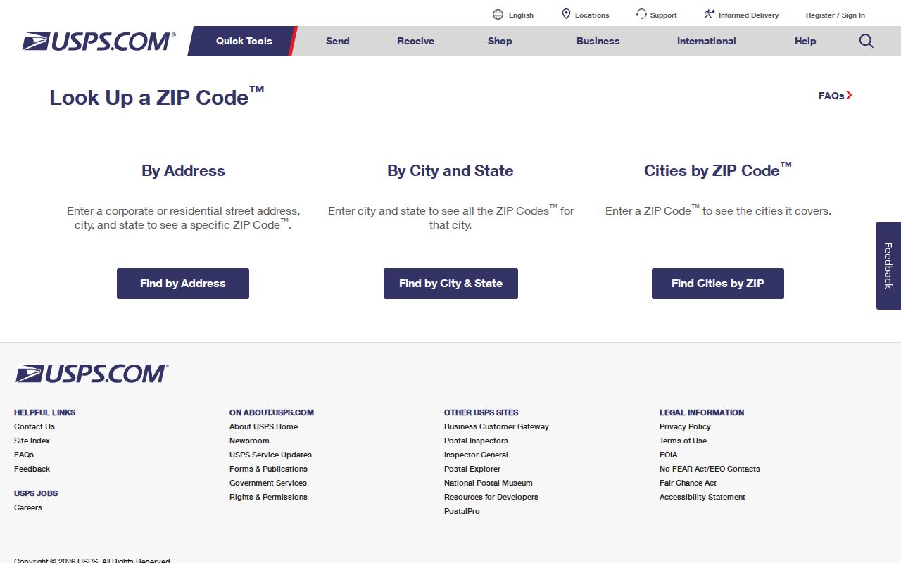
USPS ZIP Code Lookup is the address-level source to use when reconciling the current result.
This is a verified postal realignment, not a rule for the county’s other ZIPs. The inspected county data do not establish 44061, 44096, 44097, or legacy 44068 as physical Lake County parcel ZIPs, and they should not be labeled as PO-box-only without a live USPS result.
Lake County ZIP Code Map Data
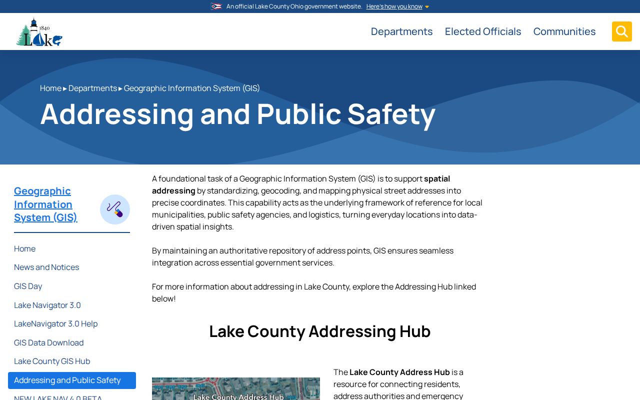
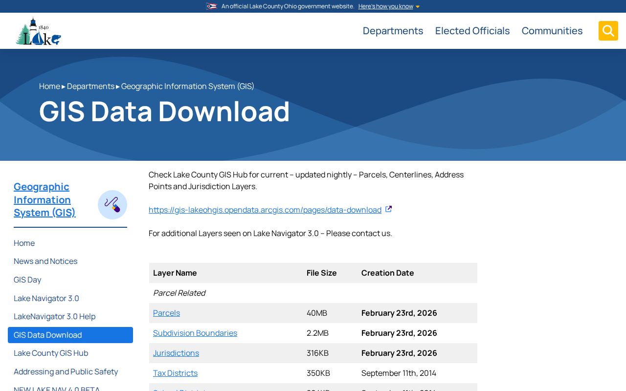
Lake County GIS maintains address points for municipalities, address authorities, and emergency services, and its data-download information says parcels, centerlines, address points, and jurisdiction layers are updated nightly. The County’s Addressing and Public Safety information describes the address repository and its Next Generation 911 role. That makes GIS a useful current geographic check, while the date on a historic directory or map remains part of the historical evidence.
Lake County GIS addressing information identifies the county address and public-safety context.
For a historical street reference, compare the directory year with a historic atlas, Sanborn map, parcel legal description, and Recorder instrument. A map can establish geographic context but cannot by itself establish title or every past occupant.
Lake County GIS data-download information describes the listed update practice and map data.
Interfaces and layer details can change. Record the source and capture date with any GIS result, especially where an older address needs to be compared with current boundaries.
Note: County GIS treats its parcel lines as mapping information, so a legal boundary question belongs with the applicable survey or legal record.
Lake County ZIP Code Limits
There is no verified public Lake County voter tool that filters people by ZIP. The local Board of Elections service form requires first and last name; the statewide lookup also requires first name, last name, and county. Voter information is a name-first registration and precinct service, not a ZIP directory. Protected registrations and redactions also mean that a street, parcel, or ZIP should never be represented as reaching every record.
For a parcel that predates modern online access, the Recorder’s online index begins in 1986 and images begin in 1987. Its counter, mail-copy, and public-record email routes remain the fallback for earlier instruments. Morley’s city-directory collection and the county’s historical maps then provide the dated historical route. No countywide historical renumbering crosswalk was located, so compare each directory year, map, legal description, and place name directly.