
Lake County Neighbors Block Sources
Records about a block answer different questions. The county parcel map shows land and parcel relationships. The property roll identifies the recorded owner and separate mailing data. A directory or obituary can place a person in a past year. None of those sources proves everyone who lives at an address today. Begin with the known address and keep owner, mailing, historic-listing, and voter evidence distinct.
| Block Source | What It Shows About a Block | Access |
|---|---|---|
| Lake Navigator | Parcel geometry, community and ZIP context, and adjacent-parcel tools | County map viewer and GIS office |
| Auditor property search | Parcel ID, owner, situs, mailing distinction, value, and legal fields | Online search or Auditor Real Estate Department |
| Lake Navigator Public Notification | Selected surrounding parcels with owner name, address, city, and count | Official map tool and documented CSV output |
| Board of Elections | Name-first registration and precinct service, subject to protections | County form, Board procedures, and office inspection |
| Morley Library directories | Historical listed household or address layer for the edition year | Appointment, focused request, or onsite collections |
Record owner and mailing address are not the same thing as every neighbor or every resident. A tax mailing address can be elsewhere, a current owner can be different from the person at the situs address, and an old directory belongs only to the year printed. Use the table as a route to source-specific facts, not as a roster.
Lake County Parcels Are Not Neighbor Rosters
Lake Navigator and the Auditor are the correct first tools for parcel context because they connect a physical address to a PIN, legal description, subdivision, community, and recorded-owner information. Their fields also distinguish the situs address from the owner mailing address and taxpayer address. That distinction matters when looking at Lake County neighbors. A match between a name and a parcel says only what the property record says.
County GIS describes parcels, centerlines, address points, and jurisdiction layers as maintained mapping data. Parcel lines support research and location but are not survey accurate. A surveyor, legal plat, or court process is the appropriate route for a binding boundary question. Do not use the map to infer a shared boundary, household membership, or an invitation to contact someone.
For a full named-street chain, the address-first workflow belongs in the Lake County street address directory. The immediate-block method stops at nearby parcel context rather than rebuilding a whole street’s ownership history.
Lake County Neighbors Buffer Tool
Lake Navigator’s Public Notification Tool is Lake County’s documented mechanism for selecting nearby parcels. It is accessed through the envelope icon in the search toolbar. This is a property-notification tool, not a resident lookup. Its output is useful for recognizing the parcels around a selected PIN, while its limits should remain visible at every step.
- Enter the parcel number in dashed PIN format, then use the tool’s magnifying glass to zoom to that parcel.
- Choose Apply a search distance and enter a buffer distance for the selected parcel.
- Read the map display: surrounding parcels appear blue within the green-shaded buffer.
- Check the dialog’s selected-parcel count before exporting any result.
- Select the output format if a documented property-notification result is needed, keeping the record date and parcel scope with it.
The county guide says the default CSV contains owner name, address, and city, but has no header row. A spreadsheet user would need to label those three fields before interpreting them. The absence of headers does not change the larger limit: the output describes property-owner and mailing data, not the people who may be at every nearby address.
The Lake County Sheriff’s sex-offender information page has its own warning and referral route to the state registry.
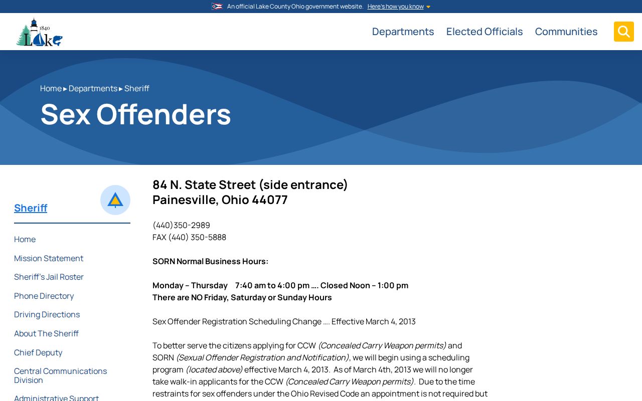
It is not a block roster and should not be used to identify, contact, or confront Lake County neighbors.
Map Lake County Neighbors by Parcel
Follow a short address-to-adjacent-parcel process so that each result retains its source and limitation. The Auditor establishes the parcel and property context. Lake Navigator places that parcel among nearby lots. The Recorder can add a recorded-instrument trail when the question is ownership history. This process does not convert parcel data into a current household list.
- Enter the known house number and street in the Auditor search, then confirm the returned address, parcel ID, community, and legal description.
- Open the matching parcel in Lake Navigator and review its mapped location, subdivision or lot fields, and adjacent parcels.
- Use the Public Notification buffer only when a defined parcel radius is the needed property context. Preserve the selected count and date.
- For a particular parcel, compare the owner, owner mailing, and taxpayer fields without assuming any one identifies the person at the physical address.
- When ownership history matters, carry the legal description and PIN to the Recorder and compare recording dates and instruments.
This flow begins at one address and moves outward one parcel at a time: address, parcel, adjacent parcel, recorded owner, then documented instrument history. Historic listings are a separate layer. Morley’s post-1923 street lists and Haines criss-cross volumes can show the listing printed for a particular year, but they do not establish current Lake County neighbors.
Lake County Neighbors Voter Boundaries
The Lake Board of Elections voter service is name based. Its local form requires last name and first name; the statewide service requires first name, last name, and county. Neither is a public street-browse screen. Precinct lists can be inspected or copied under Board procedures, but the Board’s timing, disruption, and confidentiality limits apply.
Ohio public-web voter information is governed by R.C. 3503.13 and R.C. 3503.153. Released information can include a name, birth date, current residence, precinct, registration date, voting history, and last activity date, subject to exclusions. Ballot choices are never public. Social Security, driver-license or state-ID data, phone, email, confidential registrations, and other protected data are not a neighbor-search resource.
The official Ohio voter lookup illustrates the name-and-county route.
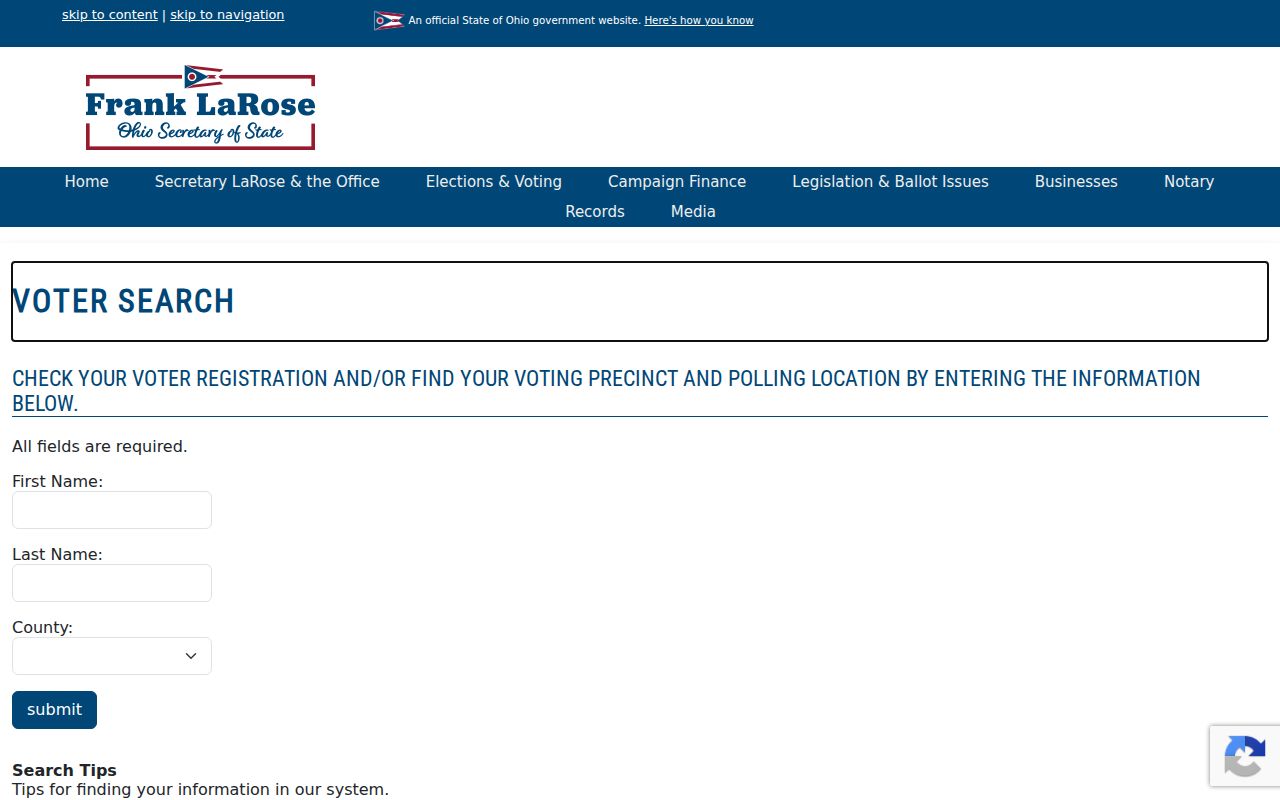
A no-result may reflect a name change, status, input error, different jurisdiction, or protected registration. It is not proof that a person is not in Lake County.
Note: Treat the Board of Elections as the authority for a specific existing record and its access limits, not as a searchable street directory.
Lake County Neighbor Contact Context
No verified official Lake County-wide neighborhood association or member directory was located. The Sheriff recognizes work with neighborhood associations, veteran groups, civic and safety groups, and local governments, but does not publish a resident roster. That research gap is useful: it prevents a search for a supposed countywide membership list that the available sources do not support.
| Contact route | What it can offer | What it does not establish |
|---|---|---|
| Sheriff community liaison | Official referral route for civic and community-safety programs | A countywide neighborhood-member roster |
| Morley Library Genealogy and Local History | Dated directories, Haines volumes, obituaries, maps, and historical context | Present membership or current block composition |
| Lake County Historical Society | Ownership histories, maps, telephone directories, and appointment research | A current neighbor contact list |
Use an individual organization’s official public contact page only when it is directly relevant. Do not infer that a congregation, block-watch group, historic society, or chamber list is public member data. Morley and the Historical Society are especially valuable for dated context after an address or parcel has already been identified.
Historic Lake County Neighbors Need a Year
A historic block is reconstructed with sources that name their year. Morley Library identifies 1923 as the first held Painesville directory with street-address listings. Later Haines Lake-Geauga criss-cross volumes provide a more direct address-to-listed-occupant route for their documented runs. These sources can show who was printed at an address in a particular edition. They do not speak for a block’s present population.
Pair a directory year with the county’s historic atlases, old surveys, or Painesville Sanborn maps when the street form, building footprint, or community label needs context. Then compare the parcel’s legal description with Recorder documents. Lake County’s older geography and changing directory titles mean an apparent absence can reflect coverage rather than a move. Preserve the source year, community title, and street spelling beside each finding.
The Lake County Sheriff jail-roster page is a current custody source with a limited purpose.
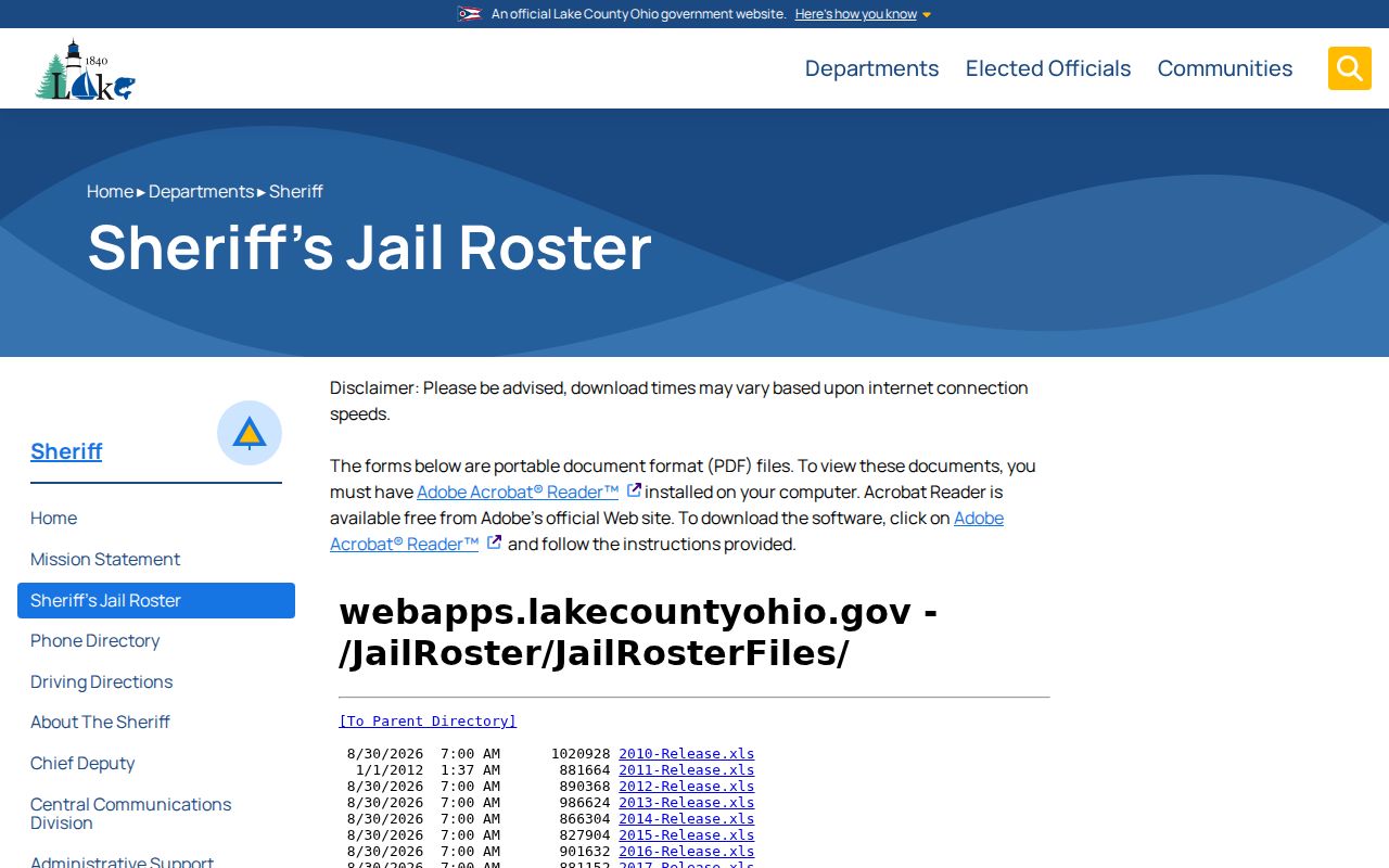
It is not evidence of who lives on a block and is not a substitute for a property, voter, or historical-directory source.
Lake County Neighbor Source Comparison
Official sources and commercial neighbor-search categories are not interchangeable. A named custodian record has a defined keeper, date, record type, and correction path. Commercial products may combine public and commercial material, obscure source dates, and mix people with the same name. Use the category comparison to decide where a fact should be checked, without treating either category as a complete picture of a block.
| Source category | Useful for | Key limitation |
|---|---|---|
| Official parcel, voter, court, or library record | A limited fact tied to a keeper and a record date | Each source covers only its own record type and legal exceptions. |
| Commercial neighbor-search category | A possible lead that still needs source-by-source checking | May be stale, mixed, incomplete, or unclear about record date and protection. |
| Organization-controlled contact page | Public program or contact information published by that organization | Does not prove membership, residence, or a complete local roster. |
Lake County Neighbors Privacy Boundaries
Some information is deliberately absent. Safe at Home participants can have confidential voter treatment and a real-property confidentiality notice can alter publicly visible county data. R.C. 3503.13 also protects specified voter fields, while utility and delivery records are not public substitutes for a block search. A limited property or voter display may reflect a lawful protection.
Owner name and mailing data do not establish every person at an address. Parcel boundaries are mapping information, not a legal survey. A court, historical directory, or property result may be old or connected to another purpose. When a county record has an error, ask the custodian that owns it to correct the record rather than copying the error elsewhere.
Lawful use. Use Lake County neighbor records for limited personal, historical, civic, or property-context research. Never use them to monitor, stalk, harass, intimidate, or harm another person.