
Search a Lake County Street
A street-by-street search works best when the address is treated as a route to several distinct records. The Lake County Auditor ties an address to a parcel and current property context. Lake Navigator supplies map context for that parcel. The Recorder then identifies recorded instruments, while the Board of Elections offers a name-based registration check with important limits. Older household questions belong in a dated directory. An owner shown on a property record is not automatically the person living there, and a directory listing is only evidence for its publication year.
- Enter the address in the Lake County Auditor property search and record the parcel ID, owner name, situs address, and legal-description details.
- Locate the same parcel in Lake Navigator to check its mapped position, surrounding parcels, community, and parcel context.
- Use the owner name only as a search term in the Recorder AVA index, then confirm the legal description in each recorded instrument.
- If a name-specific civic check is relevant, use the Lake Board of Elections voter search. It requires a first and last name and is not a street-browse tool.
- For an earlier address connection, compare the year-specific entry in Morley Library’s historical collections with the deed and parcel trail.
That order keeps the address, parcel, document, and name checks from being treated as the same kind of evidence. It also makes a disputed street number easier to investigate because the legal description remains attached to the parcel.
Lake County Street Directory Fields
The Auditor’s Basic Property Search is the primary street-directory starting point. It accepts a parcel ID, owner, address number, street, and postal-code component. Its own instructions say to omit the street suffix for stronger street results. A wildcard can broaden a partial name or street search, but it broadens property results, not a household list. Save the result’s parcel identifier before moving to another office.
| Auditor field | Input | Required | Lake County search note |
|---|---|---|---|
| Parcel ID | Text | No | * can return a group of parcels sharing an initial sequence. |
| Owner | Text | No | Full or partial name; the portal allows * as a wildcard. |
| Address: No | Text | No | Use the house-number component when it is known. |
| Street | Text or autocomplete | No | Omit the suffix; *Arden is the portal’s example for all addresses on Arden. |
| Postal Code | Text or selection | No | A supplemental address component, not a jurisdiction determination. |
Use the result as a property lead. The Auditor states that its owner display follows the spelling on the recorded deed, so a name discrepancy may be a Recorder issue rather than a reason to merge two parcels.
Lake County Parcel Map Context
Lake Navigator is a map and parcel-context tool, not a resident roster. Its general search returns parcel and geocoder candidates, and the county documents parcel investigation, historical aerial imagery, and numerous spatial layers. The map can help distinguish nearby lots with similar numbers, check a community or tax district, and connect a map result back to the Auditor record. Parcel geometry is particularly useful before reading a deed with a subdivision, lot, tract, or other legal-description reference.
The county parcel feature service documents the address, owner-mailing, value, sale-date, ZIP, community, and subdivision fields available for Lake County parcels.
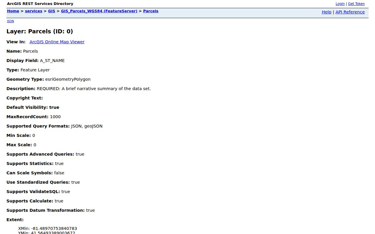
Those fields keep situs, mailing, and taxpayer information separate, which is why a mailing line cannot substitute for an address-specific finding.
Note: GIS base layers are updated on different schedules, so retain the result date when comparing a current map with a historic record.
Lake County Address Record Coverage
Each Lake County address record describes a narrow part of the street trail. The most reliable result comes from preserving the parcel ID and legal description while moving between offices. A record with the same street name but a different parcel is not a match merely because the house numbers look close.
| Address record | Custodian | What it can show | Online and fallback route |
|---|---|---|---|
| Property roll | Lake County Auditor | Parcel ID, owner, situs and mailing distinctions, value, sale date, and legal fields | Property search; Real Estate Department counter at 440-350-2532 |
| GIS parcel map | Lake County GIS | Parcel geometry, address points, community, ZIP layers, and map context | Lake Navigator; GIS counter at 440-350-5970; public data download |
| Recorded instruments | Lake County Recorder | Grantor, grantee, document type, recording detail, and legal description | AVA, registered Laredo, counter, mail copy, or public-record email |
| Tax mailing administration | Lake County Treasurer | Tax billing and mailing-update path | Treasurer at 440-350-2516, with property details routed through the Auditor |
| Plat and historic map | Tax Map, GIS, Recorder, library | Lot, block, subdivision, and earlier road or parcel geography | Historical map resources, Recorder, and archive access |
| Municipal address records | Relevant city department | Existing inspection, code, permit, or council material for that municipality | Targeted request to the actual local custodian |
Property ownership, a tax mailing party, a directory-listed householder, and a voter record are different categories. The Lake County street directory method keeps those labels visible instead of turning one result into a claim about every person at an address.
Lake County Street Deed Routes
Once the parcel is stable, the Recorder supplies the document trail. The free AVA route is the office’s basic-information search. It supports party, date, document, address, parcel, subdivision, municipality, and tract fields. Laredo Select is the Recorder’s advanced route and requires registration with a password. Search the owner name only after checking the parcel details, then read the legal description and document type before connecting an instrument to the address.
The Recorder’s document-search options describe the next channels when AVA does not supply the record: research in person at 105 Main Street, a mailed hard-copy request with a check and self-addressed stamped envelope, or a request for a specific existing record at RecorderPublicRecordRequest@LakeCountyOhio.gov. The office publishes a $2-per-page hard-copy route for documents unavailable online. Its index begins in 1986 and its images begin in 1987, so an earlier no-result is an online coverage boundary, not proof that no document exists.
The Recorder search-options page shows the office’s distinct online, counter, mail, and request paths.
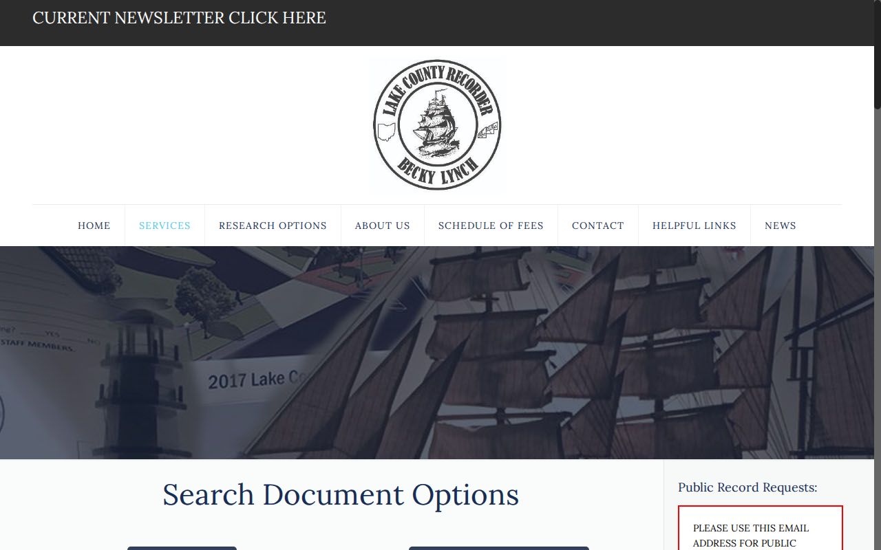
Use the route that fits the document’s era and level of detail rather than assuming one web index contains every deed or plat.
Lake County Historic Street Listings
For a past address, Morley Library’s city-directory collection provides a dated listing layer rather than a modern resident result. Its Painesville holdings include 1895, 1902, 1906, 1908, 1911, 1923, 1929, and 1930. Morley identifies 1923 as the first held Painesville directory with street addresses. The later Haines Lake-Geauga criss-cross volumes offer an address-to-listed-occupant approach for 1976, 1977, 1981 through 1987, 1989, and 1991 onward as stated in the collection.
Use the printed year as the date of the claim, record the spelling and street form, then compare it with the parcel and deed chain. The holdings themselves are detailed in the Lake County city directory collections, where the shelf and access options are treated in depth. A missing year can reflect a changed publisher, coverage pattern, or listing convention, not a definite departure.
Lake County Street Record Terms
Street research becomes more reliable when the address language is kept precise. The Auditor and GIS service expose several address fields, while deeds may rely on lot and subdivision wording that does not look like a mailing address.
- Parcel
- A county-defined piece of property identified by a parcel ID or PIN. It links the property roll, map, and recorded-instrument research.
- Situs address
- The physical location of the property. It can differ from an owner or taxpayer mailing address in the same record.
- Plat
- A recorded map that can define lots, blocks, streets, or a subdivision. It helps connect a legal description to mapped land.
- Criss-cross directory
- A historical directory arranged from address to the listing printed for that edition, rather than solely from name to address.
These terms make it easier to explain why an address-only search can produce a lead but not a complete street directory of current households.
Lake County Address Format Checks
Normalize a Lake County address before comparing results. Keep the house number, unit, direction, street name, type, suffix, USPS city, state, ZIP, community, and parcel ID when each is present. The county GIS data distinguishes these fields, and the Auditor also accepts separate address components. A delivery label or ZIP is useful for finding a starting point, but it does not settle municipal, township, tax-district, or parcel identity.
When an older document uses a different road form or place label, match its lot, subdivision, tract, or legal description before deciding it concerns the modern address. Historic maps and the Recorder chain are better checks than an assumed one-to-one match between an old street label and a current one.
Note: Lake County research found no universal historical renumbering index, so retain the source date and consult a map or archive for a conflict.
Lake County Voter Search Limits
Voter registration can provide a limited name-and-address confirmation, but it is not a street directory. The local search asks for a first and last name, and the statewide Ohio lookup also requires a county. Neither is a verified public tool for entering a street and receiving a roster. A name result must remain a registration record, not a statement that every person at the property has been found.
Ohio law makes some registration information public while protecting Social Security, driver-license or state-ID numbers, telephone, email, Safe at Home confidential registrations, certain protected addresses, and other excluded data. Registration is not compulsory, and a no-result can reflect a move, name change, status, input error, or confidential record. Do not infer a person’s address from an absence or attempt to work around a protected display.
Lake County Street Directory Limits
A Lake County street directory can identify publicly described parcels, owners of record, recorded parties, and historical listings. It cannot establish every person connected with a property. The county’s parcel data distinguish situs, owner-mailing, and taxpayer fields, and its map does not create a household roster. Utility and delivery information are not public substitutes. Protected-address programs and lawful redactions can also produce a limited display.
Lawful personal research. Use street and address records for family history, property context, civic questions, or other lawful personal purposes. Never use a result to stalk, harass, intimidate, or harm another person.
Painesville Address Record Requests
A municipal record can add context for an address in the City of Painesville, but it does not extend across Lake County. Painesville Code Enforcement describes address-tied code, zoning, property-maintenance, and related enforcement work. The official page does not provide a public name or address case index. For an existing record, direct a specific request to the relevant city custodian under Ohio’s Public Records Act, identifying the address, date range, department, and record type.
The Painesville Code Enforcement page describes its address-based functions and the office contact route.
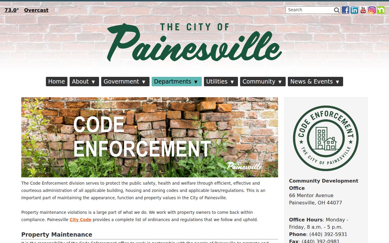
A request for a defined existing record is different from asking the city to create a list of people or a new summary.
Lake County Street Map Dates
Historic maps are a useful reality check when a street trail crosses different eras. The county Tax Map resources include atlases for 1857, 1874, 1898, and 1915, along with old surveys, railroad valuation maps, and cemetery maps. The Library of Congress holds Painesville Sanborn editions for 1889, 1898, and 1904, with the 1898 material including Fairport and Richmond. These sources can show roads, landowner labels, parcel-era geography, building footprints, and period place names.
The Lake County historical maps collection is the official county route for the atlas and map layer.
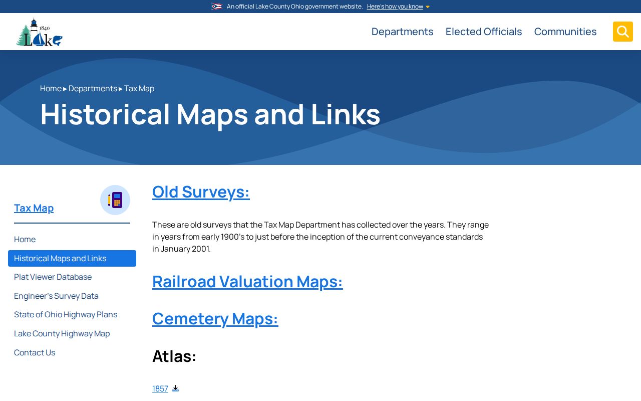
A map supports geographic continuity. Confirm ownership with a recorded instrument and historical occupancy with a source that is dated to the question.